Review:
The Fund, by Rob Copeland
| Publisher: |
St. Martin's Press |
| Copyright: |
2023 |
| ISBN: |
1-250-27694-2 |
| Format: |
Kindle |
| Pages: |
310 |
I first became aware of Ray Dalio when either he or his publisher
plastered advertisements for
The Principles all over the San
Francisco 4th and King Caltrain station. If I recall correctly, there
were also constant radio commercials; it was a whole thing in 2017. My
brain is very good at tuning out advertisements, so my only thought at the
time was "some business guy wrote a self-help book." I think I vaguely
assumed he was a CEO of some traditional business, since that's usually
who writes heavily marketed books like this. I did not connect him with
hedge funds or Bridgewater, which I have a bad habit of confusing with
Blackwater.
The Principles turns out to be more of a laundered cult manual than
a self-help book. And therein lies a story.
Rob Copeland is currently with
The New York Times, but for many
years he was the hedge fund reporter for
The Wall Street Journal.
He covered, among other things, Bridgewater Associates, the enormous hedge
fund founded by Ray Dalio.
The Fund is a biography of Ray Dalio
and a history of Bridgewater from its founding as a vehicle for Dalio's
advising business until 2022 when Dalio, after multiple false starts and
title shuffles, finally retired from running the company. (Maybe. Based
on the history recounted here, it wouldn't surprise me if he was back at
the helm by the time you read this.)
It is one of the wildest, creepiest, and most abusive business histories
that I have ever read.
It's probably worth mentioning, as Copeland does explicitly, that Ray
Dalio and Bridgewater hate this book and claim it's a pack of lies.
Copeland includes some of their denials (and many non-denials that sound
as good as confirmations to me) in footnotes that I found increasingly
amusing.
A lawyer for Dalio said he "treated all employees equally, giving
people at all levels the same respect and extending them the same
perks."
Uh-huh.
Anyway, I personally know nothing about Bridgewater other than what I
learned here and the occasional mention in Matt Levine's newsletter (which
is where I got the recommendation for this book). I have no independent
information whether anything Copeland describes here is true, but Copeland
provides the typical extensive list of notes and sourcing one expects in a
book like this, and Levine's comments indicated it's generally consistent
with Bridgewater's industry reputation. I think this book is true, but
since the clear implication is that the world's largest hedge fund was
primarily a deranged cult whose employees mostly spied on and rated each
other rather than doing any real investment work, I also have questions,
not all of which Copeland answers to my satisfaction. But more on that
later.
The center of this book are the Principles. These were an ever-changing
list of rules and maxims for how people should conduct themselves within
Bridgewater. Per Copeland, although Dalio later published a book by that
name, the version of the Principles that made it into the book was
sanitized and significantly edited down from the version used inside the
company. Dalio was constantly adding new ones and sometimes changing
them, but the common theme was radical, confrontational "honesty": never
being silent about problems, confronting people directly about anything
that they did wrong, and telling people all of their faults so that they
could "know themselves better."
If this sounds like textbook abusive behavior, you have the right idea.
This part Dalio admits to openly, describing Bridgewater as a firm that
isn't for everyone but that achieves great results because of this
culture. But the uncomfortably confrontational vibes are only the tip of
the iceberg of dysfunction. Here are just a few of the ways this played
out according to Copeland:
-
Dalio decided that everyone's opinions should be weighted by the
accuracy of their previous decisions, to create a "meritocracy," and
therefore hired people to build a social credit system in which people
could use an app to constantly rate all of their co-workers. This
almost immediately devolved into out-group bullying worthy of a high
school, with employees hurriedly down-rating and ostracizing any
co-worker that Dalio down-rated.
-
When an early version of the system uncovered two employees at
Bridgewater with more credibility than Dalio, Dalio had the system
rigged to ensure that he always had the highest ratings and was not
affected by other people's ratings.
-
Dalio became so obsessed with the principle of confronting problems
that he created a centralized log of problems at Bridgewater and
required employees find and report a quota of ten or twenty new issues
every week or have their bonus docked. He would then regularly pick
some issue out of the issue log, no matter how petty, and treat it
like a referendum on the worth of the person responsible for the
issue.
-
Dalio's favorite way of dealing with a problem was to put someone on
trial. This involved extensive investigations followed by a meeting
where Dalio would berate the person and harshly catalog their flaws,
often reducing them to tears or panic attacks, while smugly insisting
that having an emotional reaction to criticism was a personality flaw.
These meetings were then filmed and added to a library available to
all Bridgewater employees, often edited to remove Dalio's personal
abuse and to make the emotional reaction of the target look
disproportionate. The ones Dalio liked the best were shown to all new
employees as part of their training in the Principles.
-
One of the best ways to gain institutional power in Bridgewater was to
become sycophantically obsessed with the Principles and to be an eager
participant in Dalio's trials. The highest levels of Bridgewater
featured constant jockeying for power, often by trying to catch rivals
in violations of the Principles so that they would be put on trial.
In one of the common and all-too-disturbing connections between Wall
Street finance and the United States' dysfunctional government, James
Comey (yes,
that James
Comey) ran internal security for Bridgewater for three years, meaning
that he was the one who pulled evidence from surveillance cameras for
Dalio to use to confront employees during his trials.
In case the cult vibes weren't strong enough already, Bridgewater
developed its own idiosyncratic language worthy of Scientology. The
trials were called "probings," firing someone was called "sorting" them,
and rating them was called "dotting," among many other
Bridgewater-specific terms. Needless to say, no one ever probed Dalio
himself. You will also be completely unsurprised to learn that Copeland
documents instances of sexual harassment and discrimination at
Bridgewater, including some by Dalio himself, although that seems to be a
relatively small part of the overall dysfunction. Dalio was happy to
publicly humiliate anyone regardless of gender.
If you're like me, at this point you're probably wondering how Bridgewater
continued operating for so long in this environment. (Per Copeland, since
Dalio's retirement in 2022, Bridgewater has drastically reduced the
cult-like behaviors, deleted its archive of probings, and de-emphasized the
Principles.) It was not actually a religious cult; it was a hedge fund
that has to provide investment services to huge, sophisticated clients,
and by all accounts it's a very successful one. Why did this bizarre
nightmare of a workplace not interfere with Bridgewater's business?
This, I think, is the weakest part of this book. Copeland makes a few
gestures at answering this question, but none of them are very satisfying.
First, it's clear from Copeland's account that almost none of the
employees of Bridgewater had any control over Bridgewater's investments.
Nearly everyone was working on other parts of the business (sales,
investor relations) or on cult-related obsessions. Investment decisions
(largely incorporated into algorithms) were made by a tiny core of people
and often by Dalio himself. Bridgewater also appears to not trade
frequently, unlike some other hedge funds, meaning that they probably stay
clear of the more labor-intensive high-frequency parts of the business.
Second, Bridgewater took off as a hedge fund just before the hedge fund
boom in the 1990s. It transformed from Dalio's personal consulting
business and investment newsletter to a hedge fund in 1990 (with an
earlier investment from the World Bank in 1987), and the 1990s were a very
good decade for hedge funds. Bridgewater, in part due to Dalio's
connections and effective marketing via his newsletter, became one of the
largest hedge funds in the world, which gave it a sort of institutional
momentum. No one was questioned for putting money into Bridgewater even
in years when it did poorly compared to its rivals.
Third, Dalio used the tried and true method of getting free publicity from
the financial press: constantly predict an upcoming downturn, and
aggressively take credit whenever you were right. From nearly the start
of his career, Dalio predicted economic downturns year after year.
Bridgewater did very well in the 2000 to 2003 downturn, and again during
the 2008 financial crisis. Dalio aggressively takes credit for predicting
both of those downturns and positioning Bridgewater correctly going into
them. This is correct; what he avoids mentioning is that he also
predicted downturns in every other year, the majority of which never
happened.
These points together create a bit of an answer, but they don't feel like
the whole picture and Copeland doesn't connect the pieces. It seems
possible that Dalio may simply be good at investing; he reads obsessively
and clearly enjoys thinking about markets, and being an abusive cult
leader doesn't take up all of his time. It's also true that to some
extent hedge funds are semi-free money machines, in that once you have a
sufficient quantity of money and political connections you gain access to
investment opportunities and mechanisms that are very likely to make money
and that the typical investor simply cannot access. Dalio is clearly good
at making personal connections, and invested a lot of effort into forming
close ties with tricky clients such as pools of Chinese money.
Perhaps the most compelling explanation isn't mentioned directly in this
book but instead comes from Matt Levine. Bridgewater touts its
algorithmic trading over humans making individual trades, and there is
some reason to believe that consistently applying an algorithm without
regard to human emotion is a solid trading strategy in at least some
investment areas. Levine has asked in his newsletter, tongue firmly in
cheek, whether the bizarre cult-like behavior and constant infighting is a
strategy to distract all the humans and keep them from messing with the
algorithm and thus making bad decisions.
Copeland leaves this question unsettled. Instead, one comes away from
this book with a clear vision of the most dysfunctional workplace I have
ever heard of, and an endless litany of bizarre events each more
astonishing than the last. If you like watching train wrecks, this is the
book for you. The only drawback is that, unlike other entries in this
genre such as
Bad Blood or
Billion Dollar Loser, Bridgewater is a
wildly successful company, so you don't get the schadenfreude of seeing a
house of cards collapse. You do, however, get a helpful mental model to
apply to the next person who tries to talk to you about "radical honesty"
and "idea meritocracy."
The flaw in this book is that the existence of an organization like
Bridgewater is pointing to systematic flaws in how our society works,
which Copeland is largely uninterested in interrogating. "How could this
have happened?" is a rather large question to leave unanswered. The sheer
outrageousness of Dalio's behavior also gets a bit tiring by the end of
the book, when you've seen the patterns and are hearing about the fourth
variation. But this is still an astonishing book, and a worthy entry in
the genre of capitalism disasters.
Rating: 7 out of 10
 I've been enjoying Biosphere as the soundtrack to my recent "concentrated work" spells.
Knives by Biosphere
I remember seeing their name on playlists of yester-year:
axioms, bluemars1, and (still
a going concern) soma.fm's drone
zone.
I've been enjoying Biosphere as the soundtrack to my recent "concentrated work" spells.
Knives by Biosphere
I remember seeing their name on playlists of yester-year:
axioms, bluemars1, and (still
a going concern) soma.fm's drone
zone.
 Having
 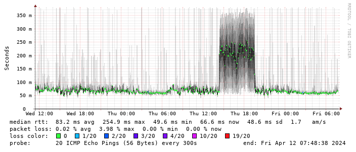 (There s a handy
  This is disappointing, but if it turns out to be a problem I can look at mounting it externally. I also assume as 5G is gradually rolled out further things will naturally improve, but that might be wishful thinking on my part.
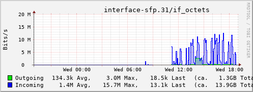
Rather than wait until my main link had a problem I decided to try a day working over the 5G connection. I spend a lot of my time either in browser based apps or accessing remote systems via SSH, so I m reasonably sensitive to a jittery or otherwise flaky connection. I picked a day that I did not have any meetings planned, but as it happened I ended up with an adhoc video call arranged. I m pleased to say that it all worked just fine; definitely noticeable as slower than the FTTP connection (to be expected), but all workable and even the video call was fine (at least from my end). Looking at the traffic graph shows the expected ~ 10Mb/s peak (actually a little higher, and looking at the FTTP stats for previous days not out of keeping with what we see there), and you can just about see the ~ 3Mb/s symmetric use by the video call at 2pm:
This is disappointing, but if it turns out to be a problem I can look at mounting it externally. I also assume as 5G is gradually rolled out further things will naturally improve, but that might be wishful thinking on my part.
Rather than wait until my main link had a problem I decided to try a day working over the 5G connection. I spend a lot of my time either in browser based apps or accessing remote systems via SSH, so I m reasonably sensitive to a jittery or otherwise flaky connection. I picked a day that I did not have any meetings planned, but as it happened I ended up with an adhoc video call arranged. I m pleased to say that it all worked just fine; definitely noticeable as slower than the FTTP connection (to be expected), but all workable and even the video call was fine (at least from my end). Looking at the traffic graph shows the expected ~ 10Mb/s peak (actually a little higher, and looking at the FTTP stats for previous days not out of keeping with what we see there), and you can just about see the ~ 3Mb/s symmetric use by the video call at 2pm:
 The test run also helped iron out the fact that the content filter was still enabled on the SIM, but that was easily resolved.
Up next, vaguely automatic failover.
The test run also helped iron out the fact that the content filter was still enabled on the SIM, but that was easily resolved.
Up next, vaguely automatic failover.
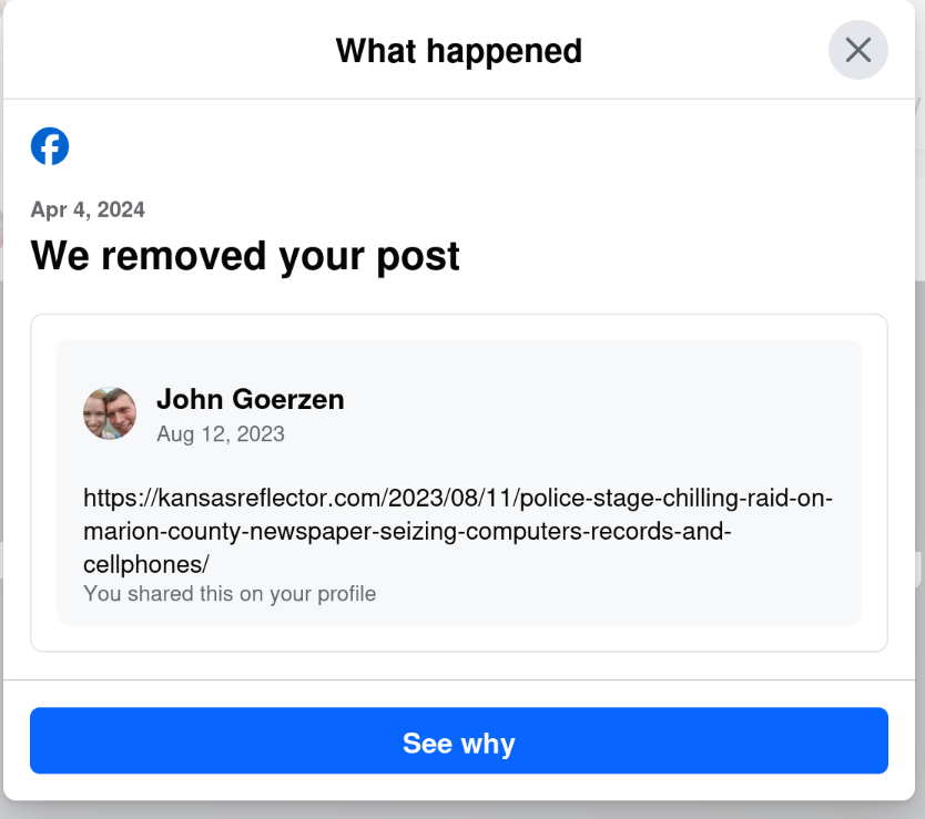 Yes, that s right: today, April 6, I get a notification that they removed a post from August 12. The notification was dated April 4, but only showed up for me today.
I wonder why my post from August 12 was fine for nearly 8 months, and then all of a sudden, when the same website runs an article critical of Facebook, my 8-month-old post is a problem. Hmm.
Yes, that s right: today, April 6, I get a notification that they removed a post from August 12. The notification was dated April 4, but only showed up for me today.
I wonder why my post from August 12 was fine for nearly 8 months, and then all of a sudden, when the same website runs an article critical of Facebook, my 8-month-old post is a problem. Hmm.
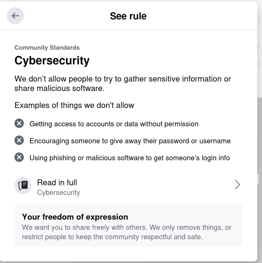 Riiiiiight. Cybersecurity.
This isn t even the first time they ve done this to me.
On September 11, 2021, they
Riiiiiight. Cybersecurity.
This isn t even the first time they ve done this to me.
On September 11, 2021, they  The Debian Project Developers will shortly vote for a new Debian Project Leader
known as the DPL.
The DPL is the official representative of representative of The Debian Project tasked with managing the overall project, its vision, direction, and finances.
The DPL is also responsible for the selection of Delegates, defining areas of
responsibility within the project, the coordination of Developers, and making
decisions required for the project.
Our outgoing and present DPL Jonathan Carter served 4 terms, from 2020
through 2024. Jonathan shared his last
The Debian Project Developers will shortly vote for a new Debian Project Leader
known as the DPL.
The DPL is the official representative of representative of The Debian Project tasked with managing the overall project, its vision, direction, and finances.
The DPL is also responsible for the selection of Delegates, defining areas of
responsibility within the project, the coordination of Developers, and making
decisions required for the project.
Our outgoing and present DPL Jonathan Carter served 4 terms, from 2020
through 2024. Jonathan shared his last 
 A few days ago
 The twentyfirst release of
  A welcome sign at Bangkok's Suvarnabhumi airport.
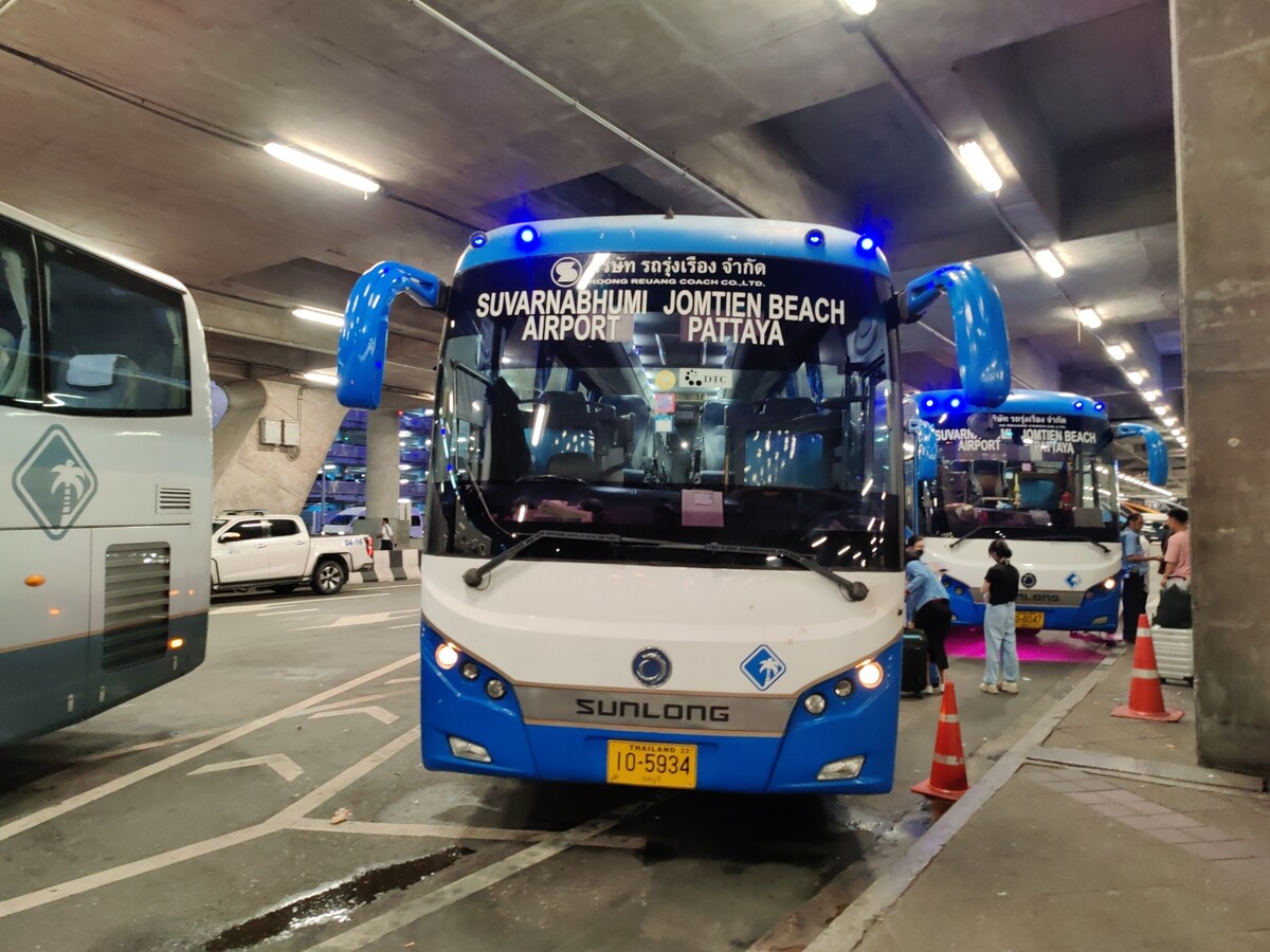 Bus from Suvarnabhumi Airport to Jomtien Beach in Pattaya.
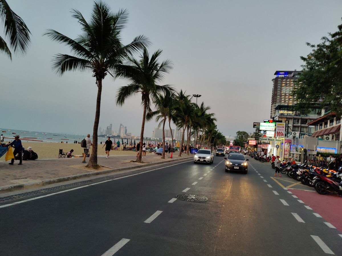 Road near Jomtien beach in Pattaya
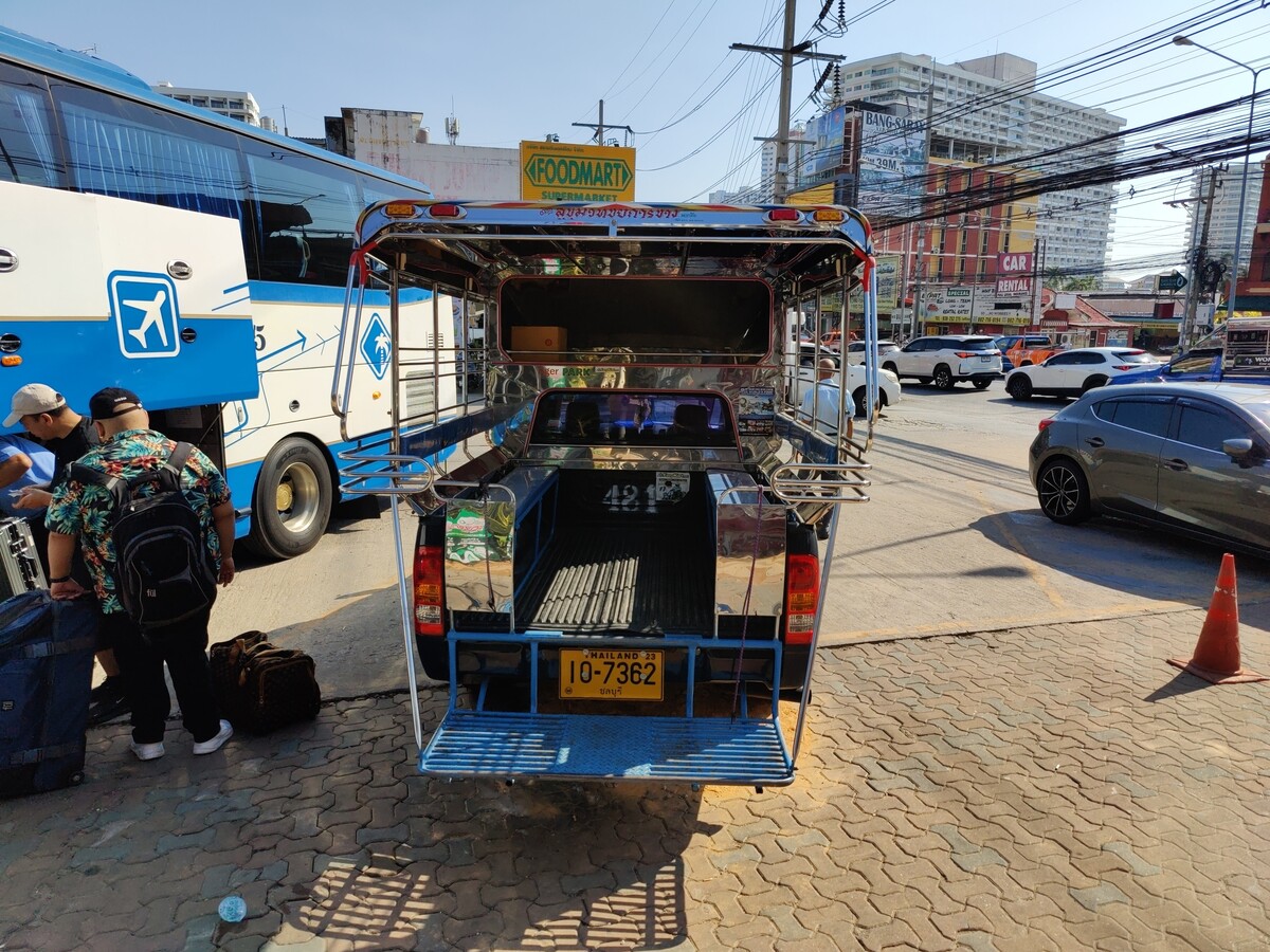 Photo of a songthaew in Pattaya. There are shared songthaews which run along Jomtien Second road and takes 10 bath to anywhere on the route.
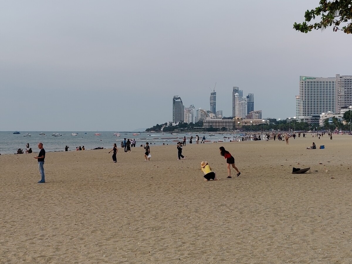 Jomtien Beach in Pattaya.
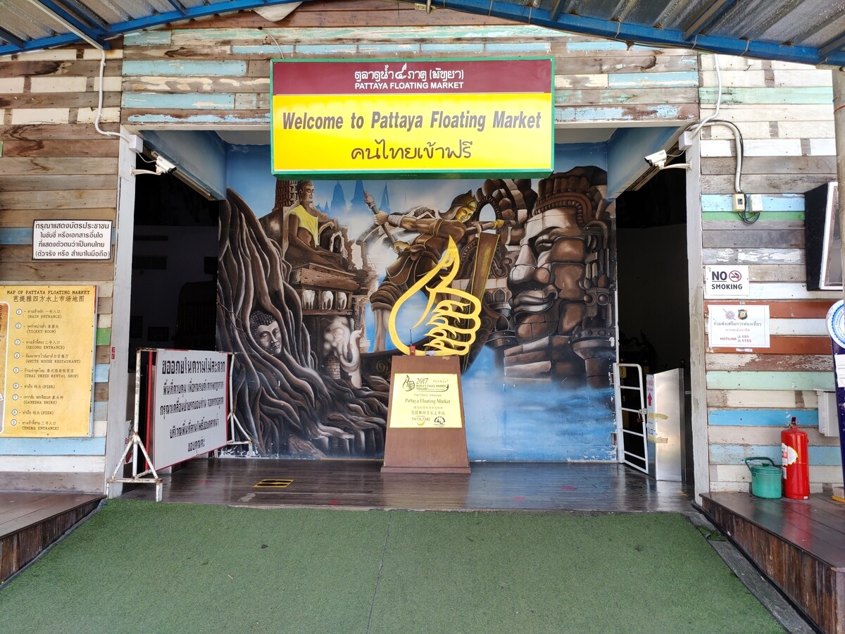 A welcome sign at Pattaya Floating market.
 This Korean Vegetasty noodles pack was yummy and was available at many 7-Eleven stores.
 Wat Arun temple stamps your hand upon entry
 Wat Arun temple
 Khao San Road
 A food stall at Khao San Road
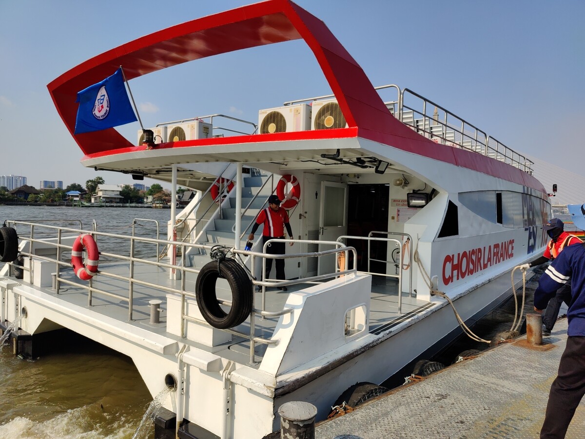 Chao Phraya Express Boat
 Banana with yellow flesh
 Fruits at a stall in Bangkok
 Trimmed pineapples from Thailand.
 Corn in Bangkok.
 A board showing coffee menu at a 7-Eleven store along with rates in Pattaya.
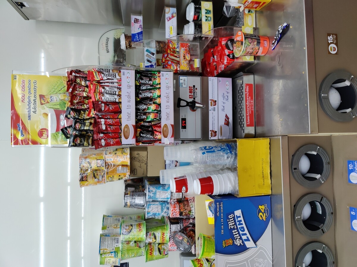 In this section of 7-Eleven, you can buy a premix coffee and mix it with hot water provided at the store to prepare.
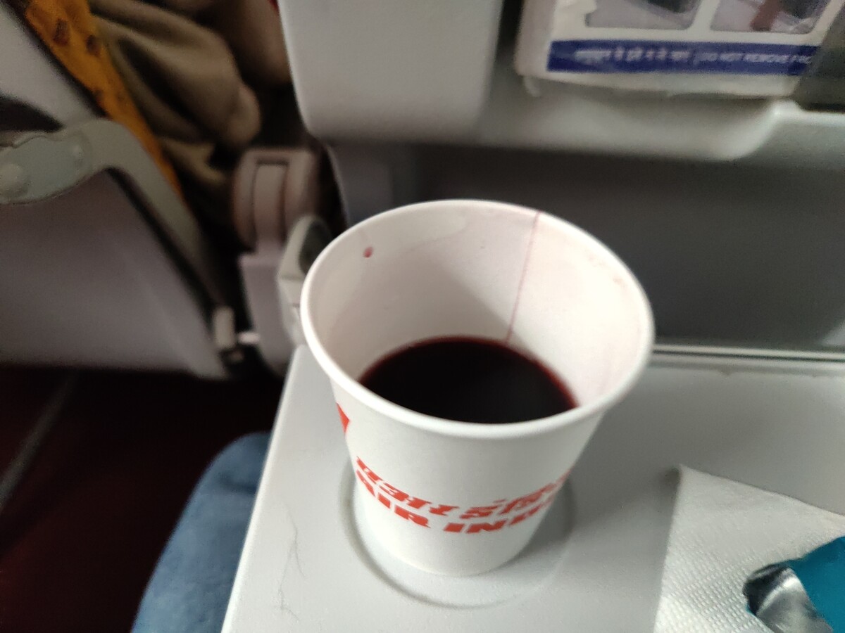 Red wine being served in Air India
 I was working on what looked like a good pattern for a pair of
jeans-shaped trousers, and I knew I wasn t happy with 200-ish g/m
cotton-linen for general use outside of deep summer, but I didn t have a
source for proper denim either (I had been low-key looking for it for a
long time).
Then one day I looked at an article I had saved about fabric shops that
sell technical fabric and while window-shopping on one I found that they
had a decent selection of denim in a decent weight.
I decided it was a sign, and decided to buy the two heaviest denim they
had: a
I was working on what looked like a good pattern for a pair of
jeans-shaped trousers, and I knew I wasn t happy with 200-ish g/m
cotton-linen for general use outside of deep summer, but I didn t have a
source for proper denim either (I had been low-key looking for it for a
long time).
Then one day I looked at an article I had saved about fabric shops that
sell technical fabric and while window-shopping on one I found that they
had a decent selection of denim in a decent weight.
I decided it was a sign, and decided to buy the two heaviest denim they
had: a 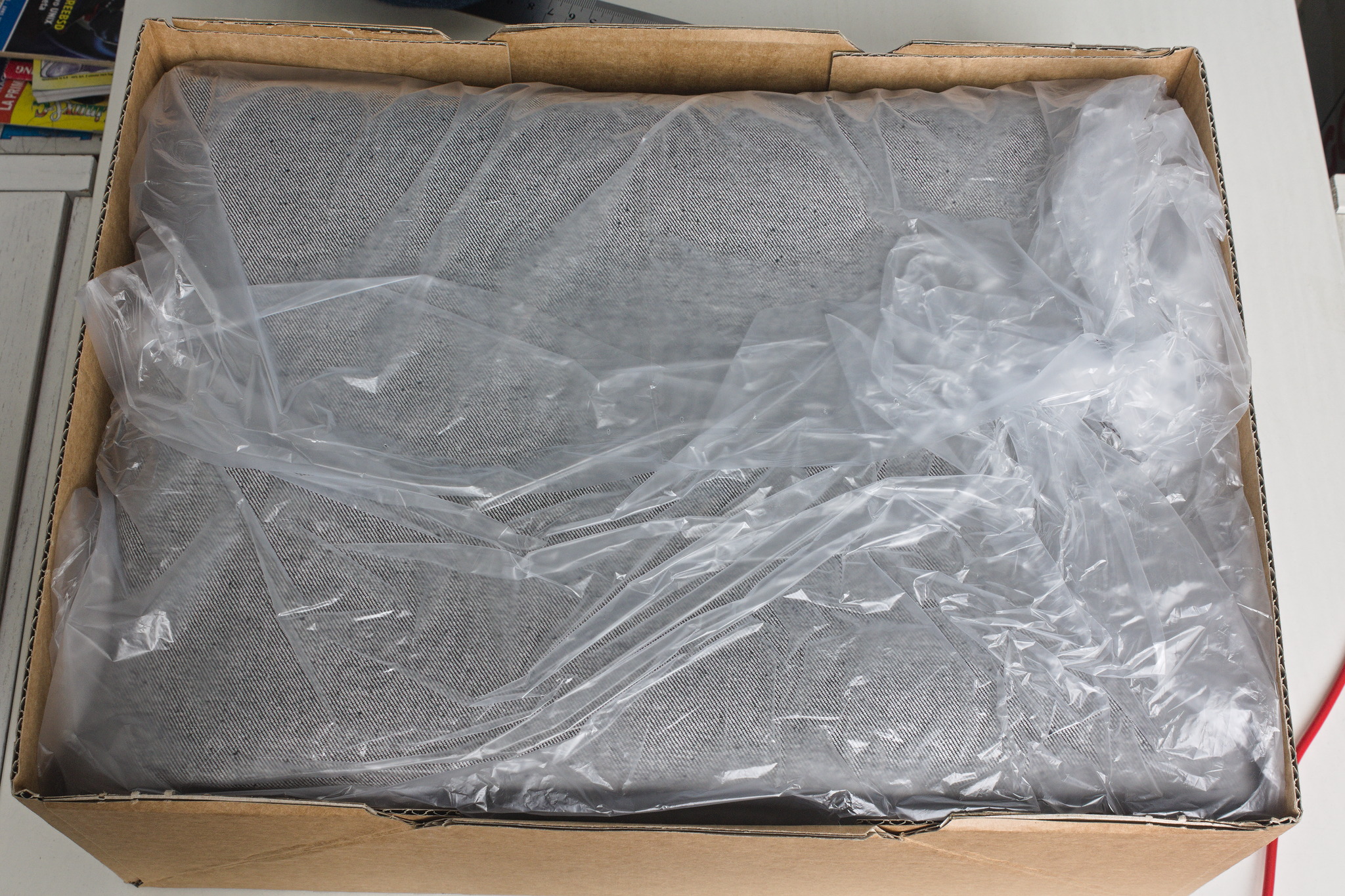 The shop sent everything very quickly, the courier took their time (oh,
well) but eventually delivered my fabric on a sunny enough day that I
could wash it and start as soon as possible on the first pair.
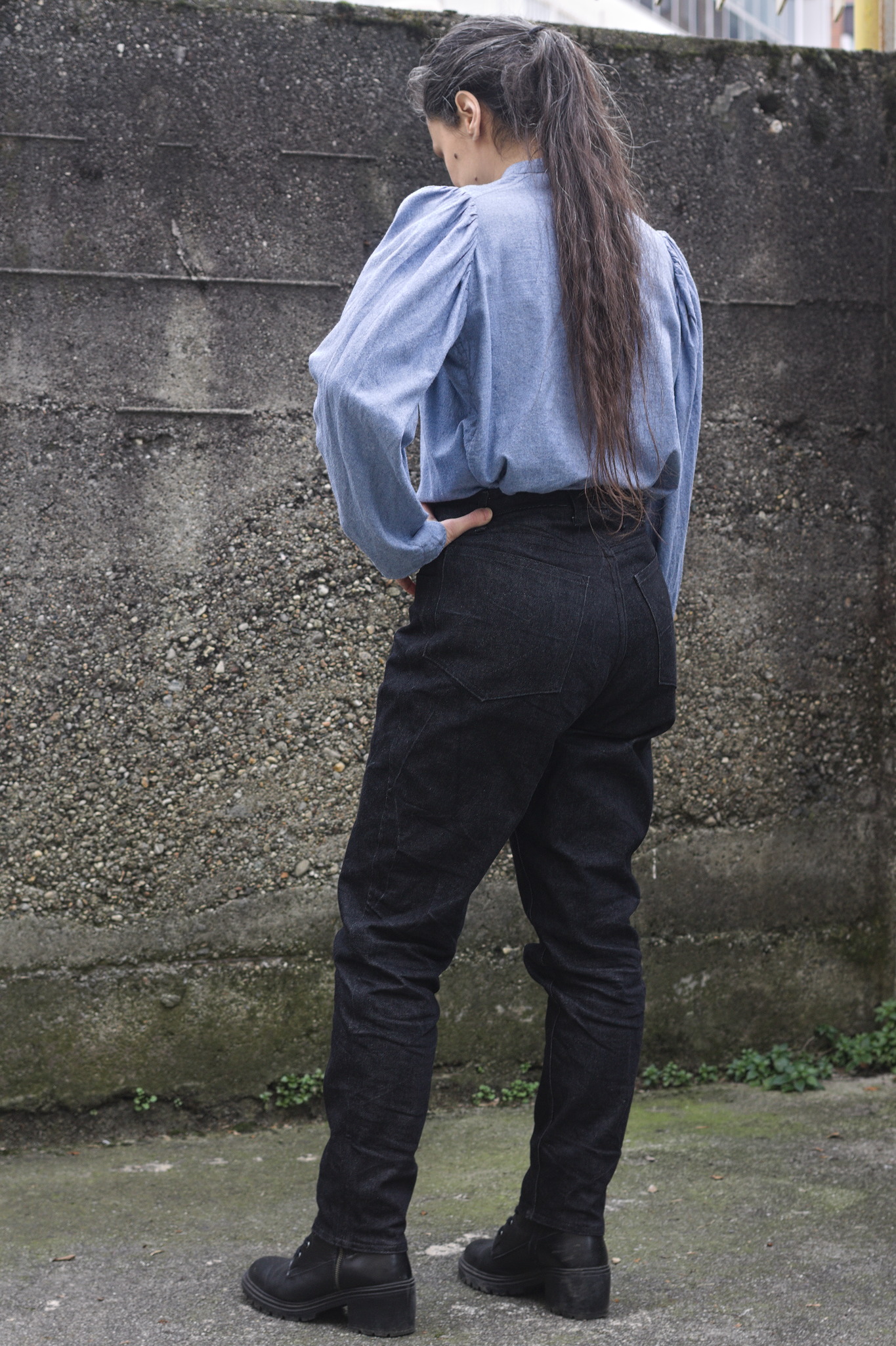
The pattern I did in linen was a bit too fitting, but I was afraid I had
widened it a bit too much, so I did the first pair in the 100% cotton
denim. Sewing them took me about a week of early mornings and late
afternoons, excluding the weekend, and my worries proved false: they
were mostly just fine.
The only bit that could have been a bit better is the waistband, which
is a tiny bit too wide on the back: it s designed to be so for comfort,
but the next time I should pull the elastic a bit more, so that it stays
closer to the body.
The shop sent everything very quickly, the courier took their time (oh,
well) but eventually delivered my fabric on a sunny enough day that I
could wash it and start as soon as possible on the first pair.
The pattern I did in linen was a bit too fitting, but I was afraid I had
widened it a bit too much, so I did the first pair in the 100% cotton
denim. Sewing them took me about a week of early mornings and late
afternoons, excluding the weekend, and my worries proved false: they
were mostly just fine.
The only bit that could have been a bit better is the waistband, which
is a tiny bit too wide on the back: it s designed to be so for comfort,
but the next time I should pull the elastic a bit more, so that it stays
closer to the body.
 I wore those jeans daily for the rest of the week, and confirmed that
they were indeed comfortable and the pattern was ok, so on the next
Monday I started to cut the elastic denim.
I decided to cut and sew two pairs, assembly-line style, using the
shaped waistband for one of them and the straight one for the other one.
I started working on them on a Monday, and on that week I had a couple
of days when I just couldn t, plus I completely skipped sewing on the
weekend, but on Tuesday the next week one pair was ready and could be
worn, and the other one only needed small finishes.
I wore those jeans daily for the rest of the week, and confirmed that
they were indeed comfortable and the pattern was ok, so on the next
Monday I started to cut the elastic denim.
I decided to cut and sew two pairs, assembly-line style, using the
shaped waistband for one of them and the straight one for the other one.
I started working on them on a Monday, and on that week I had a couple
of days when I just couldn t, plus I completely skipped sewing on the
weekend, but on Tuesday the next week one pair was ready and could be
worn, and the other one only needed small finishes.
 And I have to say, I m really, really happy with the ones with a shaped
waistband in elastic denim, as they fit even better than the ones with a
straight waistband gathered with elastic. Cutting it requires more
fabric, but I think it s definitely worth it.
But it will be a problem for a later time: right now three pairs of
jeans are a good number to keep in rotation, and I hope I won t have to
sew jeans for myself for quite some time.
And I have to say, I m really, really happy with the ones with a shaped
waistband in elastic denim, as they fit even better than the ones with a
straight waistband gathered with elastic. Cutting it requires more
fabric, but I think it s definitely worth it.
But it will be a problem for a later time: right now three pairs of
jeans are a good number to keep in rotation, and I hope I won t have to
sew jeans for myself for quite some time.
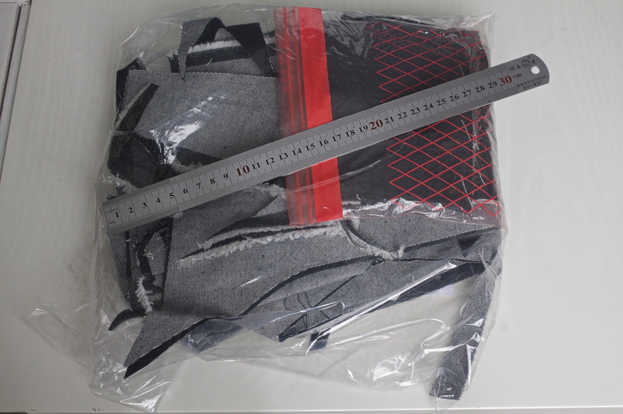 I think that the leftovers of plain denim will be used for a skirt or
something else, and as for the leftovers of elastic denim, well, there
aren t a lot left, but what else I did with them is the topic for
another post.
Thanks to the fact that they are all slightly different, I ve started to
keep track of the times when I wash each pair, and hopefully I will be
able to see whether the elastic denim is significantly less durable than
the regular, or the added weight compensates for it somewhat. I m not
sure I ll manage to remember about saving the data until they get worn,
but if I do it will be interesting to know.
Oh, and I say I ve finished working on jeans and everything, but I still
haven t sewn the belt loops to the third pair. And I m currently wearing
them. It s a sewist tradition, or something. :D
I think that the leftovers of plain denim will be used for a skirt or
something else, and as for the leftovers of elastic denim, well, there
aren t a lot left, but what else I did with them is the topic for
another post.
Thanks to the fact that they are all slightly different, I ve started to
keep track of the times when I wash each pair, and hopefully I will be
able to see whether the elastic denim is significantly less durable than
the regular, or the added weight compensates for it somewhat. I m not
sure I ll manage to remember about saving the data until they get worn,
but if I do it will be interesting to know.
Oh, and I say I ve finished working on jeans and everything, but I still
haven t sewn the belt loops to the third pair. And I m currently wearing
them. It s a sewist tradition, or something. :D
 Two months into my
 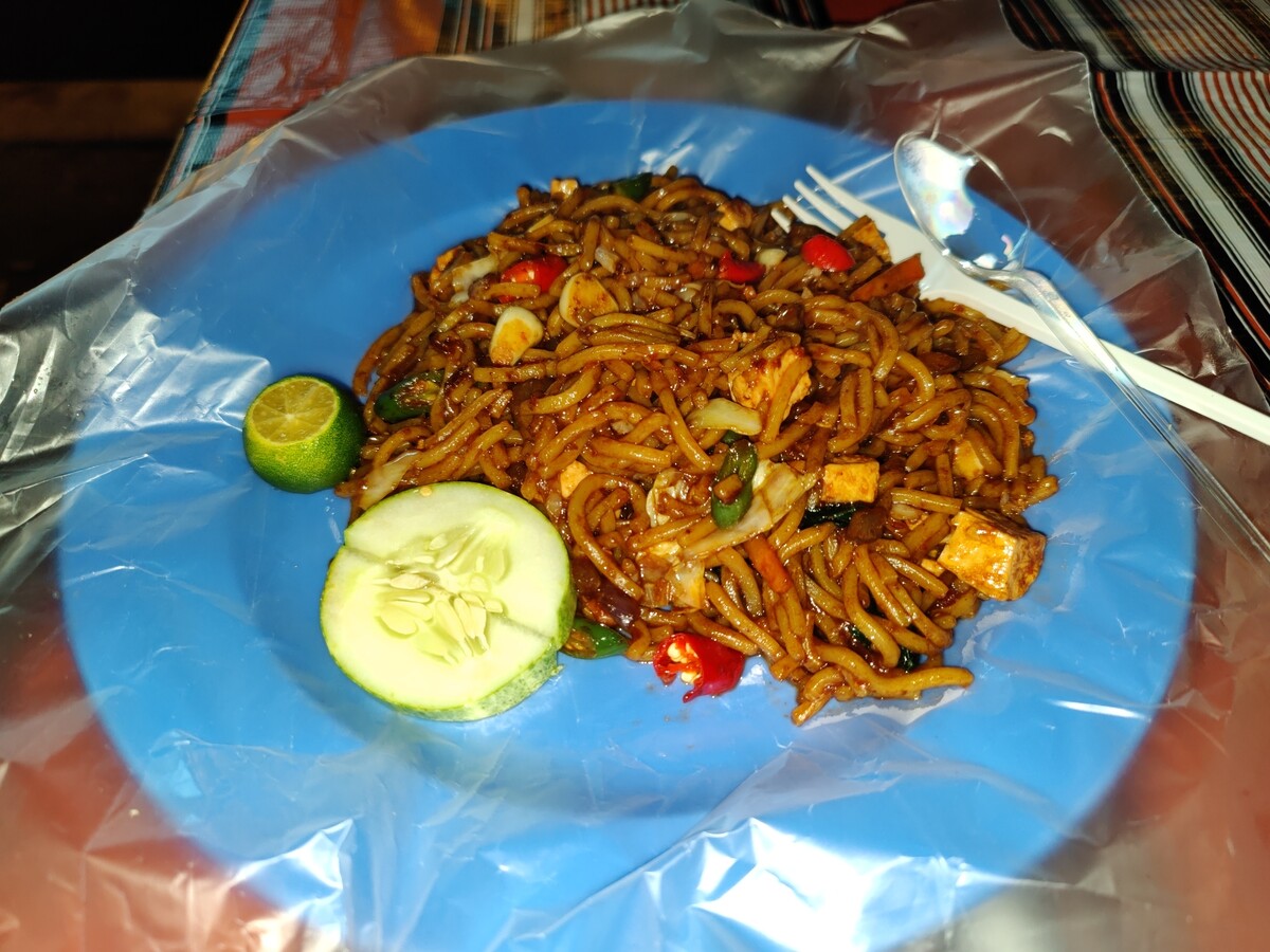 Mee Goreng, a dish made of noodles in Malaysia.
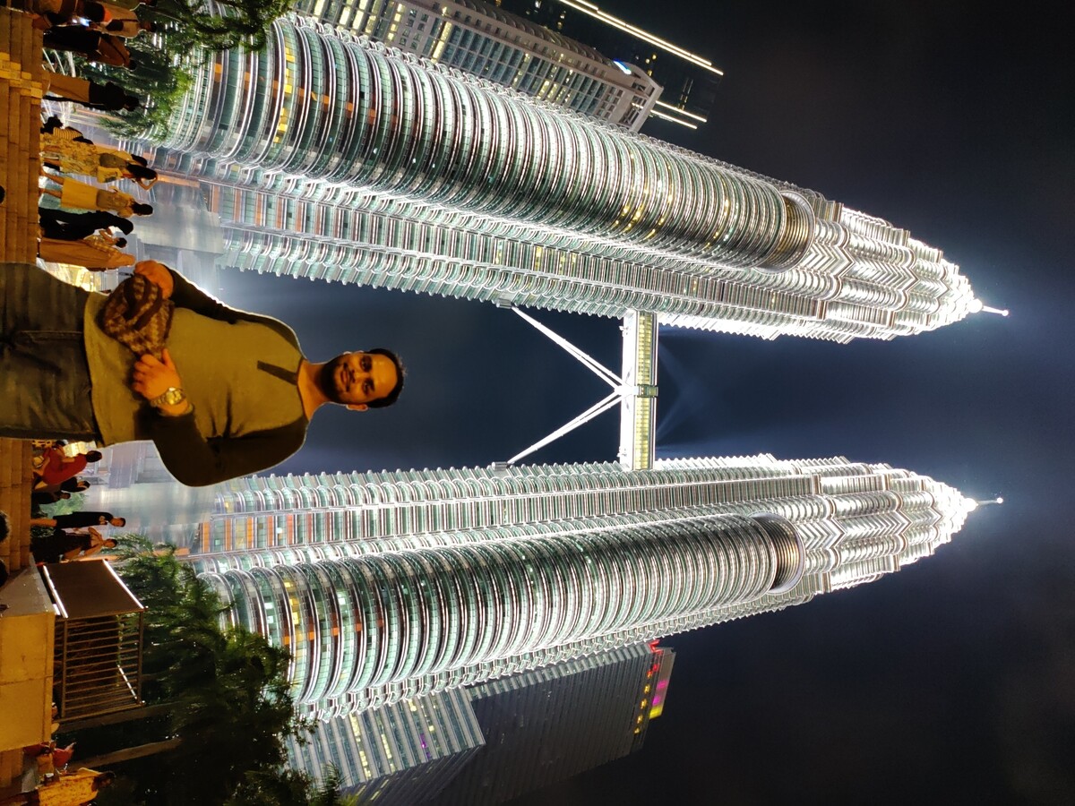 Me at Petronas Towers.
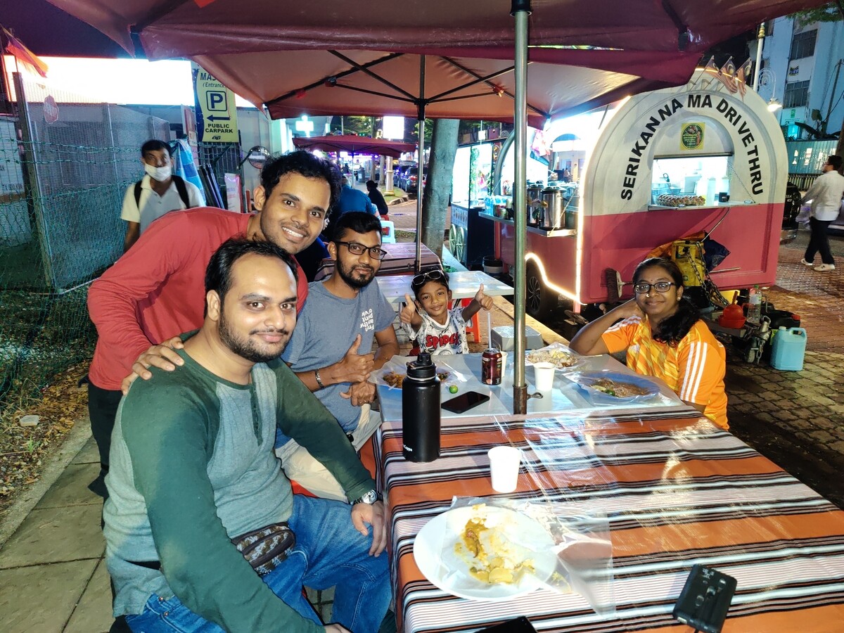 Photo with Malaysians.
 In light of the recent